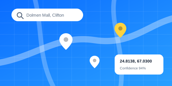
Location Data
Hyper-local data through mapping, navigation, geocoding and places APIs.
- Address & POI database
- Geocoding & reverse geocoding
- Turn-by-turn navigation APIs
12M+addresses
Read more →
We use location data, analytics and AI to improve enterprise profitability and consumer mobility — through mapping, navigation and location APIs.
Trusted by fast-moving teams
FastMaps builds location insights for enterprises and a native navigation app for everyday users. Our maps are built locally, updated continuously, and exposed through simple APIs so your team can ship faster.
From last-mile delivery to network rollout, we turn geography into decisions.
Hyper-local data through mapping, navigation, geocoding and places APIs.
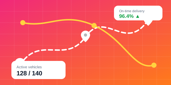
Logistics and supply-chain platform: scheduling, live tracking, routing and field-agent optimization.

Geospatial data digitization and custom surveys across income, health and infrastructure.
Style maps and tune APIs to fit your brand and workflow.
Encrypted transport, API keys and role-based access.
Engineers on call whenever you need a hand.
Clean docs, SDKs and a sandbox to start in minutes.
Sign up on the developer portal and get sandbox access instantly.
Drop in our SDKs or call the REST APIs for maps, routing and geocoding.
Monitor usage, optimize routes and grow with 24/7 support.
★★★★★“Accurate addresses cut our failed deliveries noticeably.”OOperations Lead, Orbito
★★★★★“The routing API was easy to integrate and very reliable.”TCTO, Triangle
★★★★★“Branch and ATM locator data gave our customers a better experience.”SHead of Digital, Starline
Get the consumer navigation app built for local roads, landmarks and addresses.
Our field teams and satellite imagery pipeline keep street names, house numbers, one-way rules and points of interest current. New roads typically appear in the map within 30 days.
Resell geospatial products to your customers and grow with us.
We are teaming up with a regional delivery network to bring house-level routing to 20 more cities.
Read more →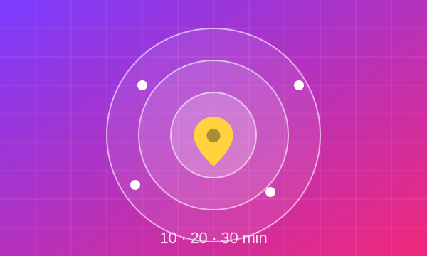
Find every place reachable within 10, 20 or 30 minutes by car, bike or on foot.
Read more →
New turn-by-turn data and ETA accuracy improvements for ride-hailing partners.
Read more →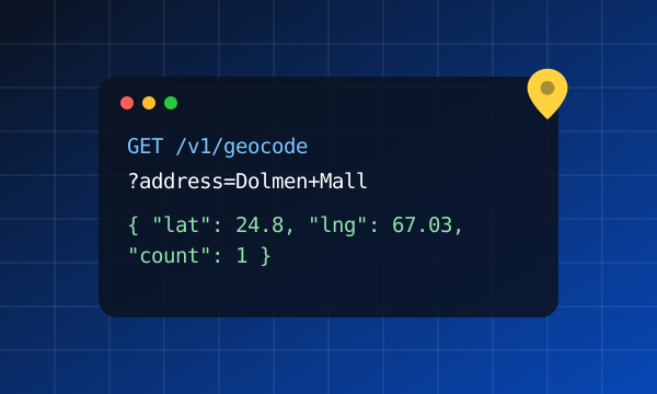
Cache results, normalise addresses and use proximity bias for faster, cheaper lookups.
Read more →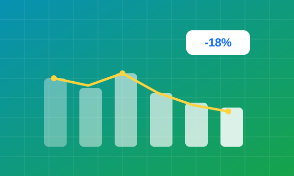
A food-delivery fleet used route optimization to reduce average trip time.
Read more →
From site selection to last-mile logistics, location is a competitive edge.
Read more →Create an account on the Developer Portal, generate an API key and call any endpoint.
Our core coverage is Pakistan, with detailed house-level data in major cities. See the coverage section above.
Yes. Keys can be locked to IP addresses, websites, Android apps or iOS apps, and to specific services.
Yes. Our GIS team digitizes assets and runs field surveys for income, health, infrastructure and more.
A dedicated account manager, 24/7 technical support and an uptime SLA.
Product updates and location-data insights, once a month.
Tell us about your use case and we’ll get back with a customized quote within one business day.
sales@fastmaps.example
support@fastmaps.example
P.O. Box 75633
Dubai, United Arab Emirates
Mon – Fri: 9:00 am – 6:00 pm
Technical support: 24/7